School nearby Community rehabilitation center for the disabled camp will
Jordan
School nearby Community rehabilitation center for the disabled camp will
Community rehabilitation center for the disabled camp will
مخيم سوف, Jarash, Jarash Qasabah District, JO Иордания
contacts phone
:
+962 7 9655 9087
Latitude:
32.3101388
, Longitude:
35.8882475
larger map & directions
read more
nearest School
377 m
Compass Educational Academy
Jerash
School
read more
394 m
مدرسة ذكور مخيم سوف الابتدائية
Jerash
School
read more
1.614 km
مدرسة البركتين الاساسية للبنات
Jerash
School
read more
1.774 km
مدرسة الشواهد
Jerash
School
read more
2.004 km
مدرسة دير الليات الثانويه الشامله للبنين
Jerash
School
read more
2.219 km
مدرسة مقبله الثانويه للبنات
School
read more
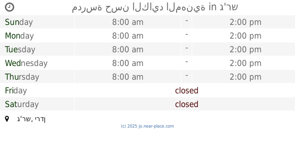
2.665 km
Valley School monastery Western basic mixed
Jerash
School
read more
2.726 km
Valley School east monastery
وادي الدير الشرقي, Jerash
School
read more
2.92 km
مدرسة براعم العلا النموذجية
Jerash
School
read more
2.937 km
King Abdullah II School of Excellence
Jerash
School
read more
2.985 km
مدرسة جرش الثانوية للبنات
Jerash
School
read more
3.191 km
محل المستقبل اللخلويات دوار المنتزه علي البوريني
20, Jerash
School
read more
3.227 km
Kindergarten vanguard creators
Jerash
School
read more
3.234 km
مدرسة الفضل بن العباس
Jerash
School
read more
3.248 km
Green Mountain School for Girls
Jerash
School
read more
3.592 km
مدرسة جبل الشيخ مصلح
Jerash
School
read more
3.923 km
مدرسة حسن الكايد المهنية
Jerash
School
read more
4.014 km
Nusseibeh girl heel
20, Jerash
School
read more
4.406 km
Jerash Secondary School for Boys
Jerash
School
read more
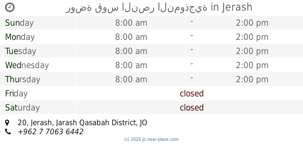
4.462 km
روضة قوس النصر النموذجية
20, Jerash
School
read more
4.478 km
مدرسة جبا الاساسية للبنات
Jerash
School
read more
4.53 km
Moath Al Kasasbeh Mixed School
Jerash
School
read more
4.703 km
مدرسة الشيخ يوسف الاساسيه للبنين
Jerash
School
read more
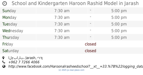
4.709 km
School and Kindergarten Haroon Rashid Model
الجبارات, Jerash
School
read more
5.752 km
مدرسة علي بن ابي طالب الاساسية
Jerash
School
read more
📑
all categories
Accounting
Administrative area level 1
Administrative area level 2
Airport
Amusement park
Aquarium
Art gallery
Atm
Bakery
Bank
Bar
Beauty salon
Bicycle store
Book store
Bowling alley
Bus station
Cafe
Campground
Car dealer
Car rental
Car repair
Car wash
Cemetery
Church
City hall
Clothing store
Colloquial area
Convenience store
Country
Courthouse
Dentist
Department store
Doctor
Electrician
Electronics store
Embassy
Finance
Fire station
Florist
Food
Funeral home
Furniture store
Gas station
General contractor
Grocery or supermarket
Gym
Hair care
Hardware store
Health
Home goods store
Hospital
Insurance agency
Jewelry store
Laundry
Lawyer
Library
Liquor store
Local government office
Locality
Locksmith
Lodging
Meal delivery
Meal takeaway
Mosque
Movie rental
Movie theater
Moving company
Museum
Natural feature
Neighborhood
Night club
Painter
Park
Parking
Pet store
Pharmacy
Physiotherapist
Place of worship
Plumber
Point of interest
Police
Post office
Premise
Real estate agency
Restaurant
Route
Rv park, camping
School
Shoe store
Shopping mall
Spa
Stadium
Storage
Store
Supermarket
Taxi stand
Train station
Travel agency
University
Veterinary care
Zoo
sublocality level 1
↑