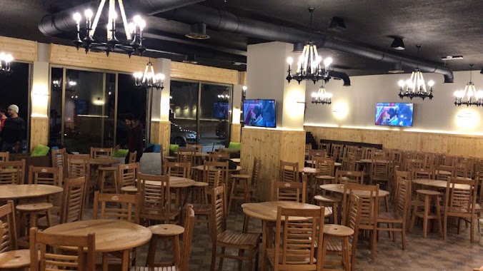
Cafe nearby مزاج الخير
Jordan
Cafe nearby مزاج الخير
مزاج الخير
Ras al-Ain, Amman, ירדן
contacts phone
:
+962 7 8888 6024
Latitude:
31.9123474
, Longitude:
35.9206856
larger map & directions
read more
nearest Cafe
10 m
Like Internet Cafe
Amman
Cafe
read more
104 m
Bool Shark
شارع الصخرة المشرفة،، عمّان
Cafe
read more
147 m
بن شعاع. Shoaa Coffee
Amman
Cafe
read more
286 m
Jonia Cafe'
Amman
Cafe
read more
602 m
بول شارك Pool shark
As-Sakhrah Al-Musharrafah Street 146،, Amman
Cafe
read more
630 m
Alameed Coffee بن العميد
الروضة،, Amman
Cafe
read more
681 m
Rawabi روابي
As Sakhrah Al Musharrafeh Amman JO 11623, Amman
Cafe
read more
1.048 km
Jad & Azad Cafe
Amman
Cafe
read more
1.504 km
كفتيريا MBC
Amman
Cafe
read more
1.701 km
Abeer Lebnan Cafeteria
Al Hajj Metleq Hussein Harb Complex, Prince El Hasan St 382, Amman
Cafe
read more
1.713 km
قهوة عمو شاهين
Prince Hasan Street 390،, Amman
Cafe
read more
1.842 km
Arzaq financial solution
Amman
Cafe
read more
1.842 km
Abu Helweh Coffee
Complex No 330, Prince El Hasan St 330, Amman
Cafe
read more
1.915 km
Mira Coffee Shop
Al Hurriyah St 8, Amman
Cafe
read more
1.944 km
Ard Al Fawara Cafeteria
Abu Sair Complex, Prince El Hasan St 318, Amman
Cafe
read more
2.039 km
Abu Zaid Cafteria
Amman
Cafe
read more
2.049 km
Fakhoury Cafeteria
Complex No 260, Prince Hashem Bin Al Hussein St 260, Amman
Cafe
read more
2.076 km
حديقة التضامن
Muhammad Ad-Durrah Street 109،, Amman
Cafe
read more
2.127 km
Asmara Cafeteria
Complex No 193, Al Hurriyah St 193, Amman
Cafe
read more
2.167 km
Kiswani Coffee
Al Thra', Amman
Cafe
read more
2.239 km
Mazzika Cafe مزيكا كافيه
Amman
Cafe
read more
2.33 km
قهوة الوقاد
الاخضر،, Amman
Cafe
read more
2.334 km
قهوة العبادي
An-Nabeghah Al-Jaadi Street, Amman
Cafe
read more
2.389 km
FUN NETWORK GAMES
Amman
Cafe
read more
2.738 km
قهوة السوبر
Sumayah Street 23،, Amman
Cafe
read more
📑
all categories
Accounting
Administrative area level 1
Administrative area level 2
Airport
Amusement park
Aquarium
Art gallery
Atm
Bakery
Bank
Bar
Beauty salon
Bicycle store
Book store
Bowling alley
Bus station
Cafe
Campground
Car dealer
Car rental
Car repair
Car wash
Cemetery
Church
City hall
Clothing store
Colloquial area
Convenience store
Country
Courthouse
Dentist
Department store
Doctor
Electrician
Electronics store
Embassy
Finance
Fire station
Florist
Food
Funeral home
Furniture store
Gas station
General contractor
Grocery or supermarket
Gym
Hair care
Hardware store
Health
Home goods store
Hospital
Insurance agency
Jewelry store
Laundry
Lawyer
Library
Liquor store
Local government office
Locality
Locksmith
Lodging
Meal delivery
Meal takeaway
Mosque
Movie rental
Movie theater
Moving company
Museum
Natural feature
Neighborhood
Night club
Painter
Park
Parking
Pet store
Pharmacy
Physiotherapist
Place of worship
Plumber
Point of interest
Police
Post office
Premise
Real estate agency
Restaurant
Route
Rv park, camping
School
Shoe store
Shopping mall
Spa
Stadium
Storage
Store
Supermarket
Taxi stand
Train station
Travel agency
University
Veterinary care
Zoo
sublocality level 1
↑