Store nearby Good Smart Internet Systems
Coronavirus disease (COVID-19) Situation
confirmed cases
1746997
deaths
14122
Jordan
Store nearby Good Smart Internet Systems
Good Smart Internet Systems
Madinat Al-Sharq, Az-Zarqa, Jordanien
contacts phone
:
+962
Latitude:
32.0628506
, Longitude:
36.0919158
larger map & directions
read more
nearest Store
45 m
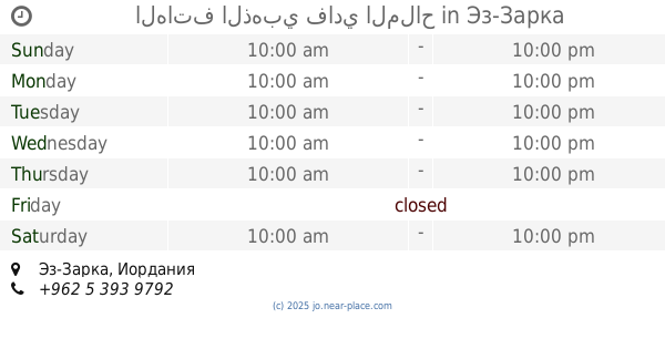
الهاتف الذهبي فادي الملاح
Az-Zarqa
Store
read more
52 m
The Spice Sheikh
King Abdullah I Street, Az-Zarqa
Store
read more
57 m
Shady Accessories
Az-Zarqa
Store
read more
63 m
Maher For Watches
Az-Zarqa
Store
read more
67 m
مطبعة الفطافطه
Az-Zarqa
Store
read more
69 m
معرض الصراوي لمستلزمات المطاعم والحلويات
King Abdullah I Street, Az-Zarqa
Store
read more
94 m
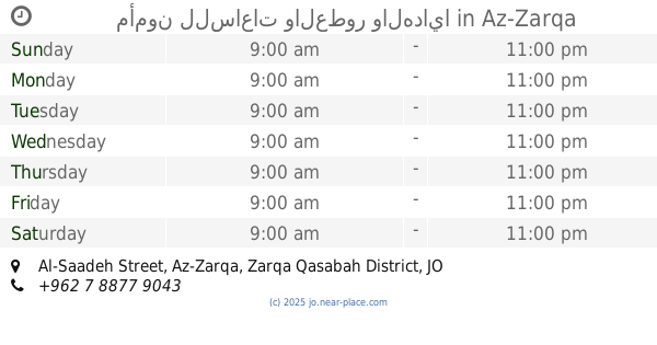
مأمون للساعات والعطور والهدايا
Al-Saadeh Street, Az-Zarqa
Store
read more
144 m
البوريني سنتر
Az-Zarqa
Store
read more
145 m
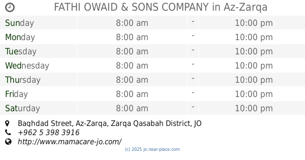
FATHI OWAID & SONS COMPANY
Baghdad Street, Az-Zarqa
Store
read more
150 m
شركة فتحي العوضي للالعاب
Baghdad Street, Az-Zarqa
Store
read more
166 m
مؤسسة برهان العورتاني
Az-Zarqa
Store
read more
189 m
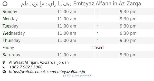
مطبعة إمتياز الفن Emteyaz Alfann
Al Wasat Al Tijari, Az-Zarqa
Store
read more
193 m
عاشور Juice
Unnamed Road, Az-Zarqa
Store
read more
272 m
مركز بيبلوس للصوتيات
Az-Zarqa
Store
read more
280 m
Markaziya for vegetables and fruit
30, Az-Zarqa
Store
read more
301 m
Horizon Optics Center
Az-Zarqa
Store
read more
306 m
محامص ابو طافش
30, Az-Zarqa
Store
read more
411 m
Mazen Welding Medical Corporation
Az-Zarqa
Store
read more
468 m
Hamouda Library
Bab Al-Wad Street, Az-Zarqa
Store
read more
474 m
محل فلور لمواد التجميل ولوازم الصالونات.
King Talal Street, Amman
Store
read more
530 m
بسام موسى
الوسط التجاري،، الزرقاء
Store
read more
551 m
Creativity Lighting
Az-Zarqa
Store
read more
785 m
ICU for smokers
Az-Zarqa
Store
read more
810 m
Haj Abu Mustafa Sweets
Az-Zarqa
Store
read more
988 m
ميساء محمص وبن
Az-Zarqa
Store
read more
📑
all categories
Accounting
Administrative area level 1
Administrative area level 2
Airport
Amusement park
Aquarium
Art gallery
Atm
Bakery
Bank
Bar
Beauty salon
Bicycle store
Book store
Bowling alley
Bus station
Cafe
Campground
Car dealer
Car rental
Car repair
Car wash
Cemetery
Church
City hall
Clothing store
Colloquial area
Convenience store
Country
Courthouse
Dentist
Department store
Doctor
Electrician
Electronics store
Embassy
Finance
Fire station
Florist
Food
Funeral home
Furniture store
Gas station
General contractor
Grocery or supermarket
Gym
Hair care
Hardware store
Health
Home goods store
Hospital
Insurance agency
Jewelry store
Laundry
Lawyer
Library
Liquor store
Local government office
Locality
Locksmith
Lodging
Meal delivery
Meal takeaway
Mosque
Movie rental
Movie theater
Moving company
Museum
Natural feature
Neighborhood
Night club
Painter
Park
Parking
Pet store
Pharmacy
Physiotherapist
Place of worship
Plumber
Point of interest
Police
Post office
Premise
Real estate agency
Restaurant
Route
Rv park, camping
School
Shoe store
Shopping mall
Spa
Stadium
Storage
Store
Supermarket
Taxi stand
Train station
Travel agency
University
Veterinary care
Zoo
sublocality level 1
↑