School nearby Prince Hamzah Secondary School - Sabha
Jordan
School nearby Prince Hamzah Secondary School - Sabha
Prince Hamzah Secondary School - Sabha
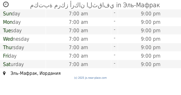
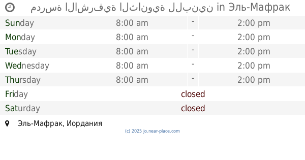
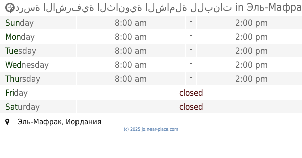
Эль-Мафрак, Иордания
contacts phone
:
+962
Latitude:
32.3335936
, Longitude:
36.5143093
larger map & directions
read more
nearest School
52 m
School Prince Hamza bin Hassan / Sabha
School
read more
1.089 km
School Sabha Secondary Girls
School
read more
1.134 km
School Sabha Secondary Comprehensive Girls
School
read more
4.303 km
مدرسة الدفيانة الأساسية 113603
Unnamed Road, Ad-Dafyanah
School
read more
4.52 km
مكتبة مركز أركان الثقافي
School
read more
5.079 km
مدرسة سبع صير للبنات
School
read more
5.304 km
مدرسة الزهراء للبنات
School
read more
5.429 km
Al Faisaliah Basic School for Boys
School
read more
8.741 km
School Zmlh Prince Ghazi Secondary Girls
School
read more
8.901 km
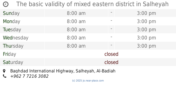
Salehia High School Mixed
School
read more
9.013 km
The basic validity of mixed eastern district
Baghdad International Highway, Salheyah
School
read more
9.543 km
Or Alkotain High School
School
read more
10.954 km
الكوم الاحمر الثانوية الشاملة للبنين
School
read more
11.052 km
Khcaa Slitin Comprehensive Secondary School for Boys
Health Center Street, Umm al-Quttayn
School
read more
11.12 km
مدرسة أم القطين الخاصة
School
read more
11.773 km
Secondary School for Boys Aqub
School
read more
12.88 km
مدرسة الأمير علي بن الحسين
School
read more
12.927 km
عمر بن الخطاب س ذكور
Unnamed Road, Umm el-Jimal
School
read more
13.91 km
School or Secondary Comprehensive Beauty Mixed (Girls)
School
read more
14.075 km
مدرسة ام الجمال للبنين
School
read more
14.266 km
Spacious Rakad School for Girls
School
read more
15.406 km
مدرسة نايفة الثانوية للبنات
School
read more
16.19 km
مدرسة الاشرفية الثانوية للبنين
School
read more
16.987 km
مدرسة الاشرفية الثانوية الشاملة للبنات
School
read more
19.058 km
مدرسة السعادة الغربية الثانوية المختلطة
School
read more
📑
all categories
Accounting
Administrative area level 1
Administrative area level 2
Airport
Amusement park
Aquarium
Art gallery
Atm
Bakery
Bank
Bar
Beauty salon
Bicycle store
Book store
Bowling alley
Bus station
Cafe
Campground
Car dealer
Car rental
Car repair
Car wash
Cemetery
Church
City hall
Clothing store
Colloquial area
Convenience store
Country
Courthouse
Dentist
Department store
Doctor
Electrician
Electronics store
Embassy
Finance
Fire station
Florist
Food
Funeral home
Furniture store
Gas station
General contractor
Grocery or supermarket
Gym
Hair care
Hardware store
Health
Home goods store
Hospital
Insurance agency
Jewelry store
Laundry
Lawyer
Library
Liquor store
Local government office
Locality
Locksmith
Lodging
Meal delivery
Meal takeaway
Mosque
Movie rental
Movie theater
Moving company
Museum
Natural feature
Neighborhood
Night club
Painter
Park
Parking
Pet store
Pharmacy
Physiotherapist
Place of worship
Plumber
Point of interest
Police
Post office
Premise
Real estate agency
Restaurant
Route
Rv park, camping
School
Shoe store
Shopping mall
Spa
Stadium
Storage
Store
Supermarket
Taxi stand
Train station
Travel agency
University
Veterinary care
Zoo
sublocality level 1
↑