School nearby Kids on Top Academy Preschool
Jordan
School nearby Kids on Top Academy Preschool
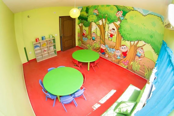
Kids on Top Academy Preschool
Unnamed Road, Amman, Jordan
contacts phone
:
+962 7 9663 7320
Latitude:
31.905369
, Longitude:
35.8642881
larger map & directions
read more
nearest School
101 m
Kidstoria Preschool
Amman
School
read more
523 m
Asha School
Amman
School
read more
553 m
مدارس المهارات الدولية
Amman
School
read more
563 m
Al Maharat International Schools
Amman
School
read more
582 m
Almaharat International School
Amman
School
read more
701 m
Super Nanny Nursery
Marj, Amman
School
read more
913 m
Blue Moon Kindergarten
Amman
School
read more
960 m
Basketball School
Marj Al-Jamam Street, Amman
School
read more
1.04 km
مدرسة العقيق العالميه
Amman
School
read more
1.083 km
Hashem bookstore مكتبة هاشم
Unnamed, Al Hezam Road, Amman
School
read more
1.152 km
Opal International Schools Branch Marj Al Hamam
Amman
School
read more
1.335 km
Rosary Kindergarten
Rosary Kindergarten, Sami Shams Al Deen St 9, Amman
School
read more
1.376 km
روضه Right Start
منطقة مرج الحمام،, Amman
School
read more
1.54 km
حضانة مهارة وشطارة Brains And Games
Hizam Ring Road, Amman
School
read more
1.624 km
مدرسة و روضة النجاح النموذجية
Amman
School
read more
1.63 km
Al Najah Model School
Al Najah Model School, Naltchek St 166, Amman
School
read more
1.771 km
Al Khaleej Kindergarten
Complex No 11, Ali Al Lwansi St 11
School
read more
1.817 km
Al Mehwar International Schools
Al-Bonayat Street, Amman
School
read more
1.894 km
مدرسة الخمائل
Amman
School
read more
1.963 km
الياسمين
Al-Hurriyah Street, Amman
School
read more
2.031 km
School Prince Hamzah Bin Al Hussein
Omar Bilal Street, Amman
School
read more
2.153 km
International Independent Schools
Airport Road، Amman
School
read more
2.258 km
Sunshine Kids Center
Princess Taghreed Mohammad Street, Amman
School
read more
2.389 km
Marj Al Hammam High School for Boys
Umm As-Summaq
School
read more
2.545 km
White Heart Kindergarten
Complex No 5, Al Suha St 5
School
read more
📑
all categories
Accounting
Administrative area level 1
Administrative area level 2
Airport
Amusement park
Aquarium
Art gallery
Atm
Bakery
Bank
Bar
Beauty salon
Bicycle store
Book store
Bowling alley
Bus station
Cafe
Campground
Car dealer
Car rental
Car repair
Car wash
Cemetery
Church
City hall
Clothing store
Colloquial area
Convenience store
Country
Courthouse
Dentist
Department store
Doctor
Electrician
Electronics store
Embassy
Finance
Fire station
Florist
Food
Funeral home
Furniture store
Gas station
General contractor
Grocery or supermarket
Gym
Hair care
Hardware store
Health
Home goods store
Hospital
Insurance agency
Jewelry store
Laundry
Lawyer
Library
Liquor store
Local government office
Locality
Locksmith
Lodging
Meal delivery
Meal takeaway
Mosque
Movie rental
Movie theater
Moving company
Museum
Natural feature
Neighborhood
Night club
Painter
Park
Parking
Pet store
Pharmacy
Physiotherapist
Place of worship
Plumber
Point of interest
Police
Post office
Premise
Real estate agency
Restaurant
Route
Rv park, camping
School
Shoe store
Shopping mall
Spa
Stadium
Storage
Store
Supermarket
Taxi stand
Train station
Travel agency
University
Veterinary care
Zoo
sublocality level 1
↑