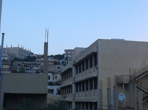
School nearby حمزة الزقيلي
Jordan
School nearby حمزة الزقيلي
حمزة الزقيلي
אירביד, ירדן
contacts phone
:
+962 7 9016 6328
website:
www.facebook.com
Latitude:
32.4189782
, Longitude:
35.6610082
larger map & directions
read more
nearest School
932 m
Kufrabeel School
Kufr 'Awan
School
read more
2.021 km
Kufr'Awan Secondary Comprehensive School for Girls
School
read more
2.036 km
روضة كفرعوان
Kufr 'Awan
School
read more
2.053 km
Kufr'Awan Secondary Comprehensive School for Girls
Kufr 'Awan
School
read more
2.141 km
مدرسة كفرعوان الأساسية للبنين
Kufr 'Awan
School
read more
2.31 km
Bin Sharhabeel Basic School good
Kufr 'Awan
School
read more
2.488 km
مدرسة كفرعوان الثانوية للبنين
School
read more
2.532 km
مدرسة كفر عوان الاسا سية
Hizam Ring Road, Amman
School
read more
3.349 km
مدرسة جديتا الاساسية المختلطة
Judayta
School
read more
3.691 km
House EADS basic Mixed School
School
read more
3.997 km
House Basic School IDs for Boys
School
read more
4.278 km
مدرسة جديتا الثانوية للبنات
Judayta
School
read more
4.282 km
School Abdullah bin Rawaha
School
read more
4.288 km
مدرسة عبد الله بن رواحة الاساسية للذكور
Judayta
School
read more
4.305 km
مدرسة عبدالله بن رواحة الاساسية للبنين
School
read more
4.568 km
مدرسة بيت ايدس الثانوية للبنات
School
read more
4.61 km
School Kfrrakp Secondary Girls
School
read more
4.799 km
مدرسة أسماء بنت ابي بكر الاساسية للبنات
Judayta
School
read more
4.803 km
مدرسة كفراركب الثانوية للبنين
School
read more
4.814 km
مدرسة جديتا المتوسطة للبنات
Judayta
School
read more
4.839 km
مدرسة جديتا الابتدائية للبنات
Judayta
School
read more
5.062 km
مدرسة جديتا الثانوية للذكور
School
read more
5.081 km
مدرسة طنجة الاساسية للبنين
School
read more
6.692 km
روضة المسك النموذجية
אירביד
School
read more
6.692 km
روضة المسك النموذجية
Irbid
School
read more
📑
all categories
Accounting
Administrative area level 1
Administrative area level 2
Airport
Amusement park
Aquarium
Art gallery
Atm
Bakery
Bank
Bar
Beauty salon
Bicycle store
Book store
Bowling alley
Bus station
Cafe
Campground
Car dealer
Car rental
Car repair
Car wash
Cemetery
Church
City hall
Clothing store
Colloquial area
Convenience store
Country
Courthouse
Dentist
Department store
Doctor
Electrician
Electronics store
Embassy
Finance
Fire station
Florist
Food
Funeral home
Furniture store
Gas station
General contractor
Grocery or supermarket
Gym
Hair care
Hardware store
Health
Home goods store
Hospital
Insurance agency
Jewelry store
Laundry
Lawyer
Library
Liquor store
Local government office
Locality
Locksmith
Lodging
Meal delivery
Meal takeaway
Mosque
Movie rental
Movie theater
Moving company
Museum
Natural feature
Neighborhood
Night club
Painter
Park
Parking
Pet store
Pharmacy
Physiotherapist
Place of worship
Plumber
Point of interest
Police
Post office
Premise
Real estate agency
Restaurant
Route
Rv park, camping
School
Shoe store
Shopping mall
Spa
Stadium
Storage
Store
Supermarket
Taxi stand
Train station
Travel agency
University
Veterinary care
Zoo
sublocality level 1
↑