Restaurant nearby مطعم نويران
Jordan
Restaurant nearby مطعم نويران
مطعم نويران
סלט, ירדן
contacts phone
:
+962
Latitude:
32.0390742
, Longitude:
35.724831
larger map & directions
read more
nearest Restaurant
34 m
مطعم شم وذوق
Prince Hasan Bin Talal Street, As-Salt
Restaurant
read more
36 m
مطعم الشامي الأسماك
شارع الامير حسن بن طلال، قرب مسجد السلط الكبير, As-Salt
Restaurant
read more
68 m
مطعم الخيام الجديد
As-Salt
Restaurant
read more
114 m
Beit Aziz
As-Salt
Restaurant
read more
155 m
Iskandarani Restaurant Al Salt City
Marj Al-Hamam Street As, As-Salt
Restaurant
read more
161 m
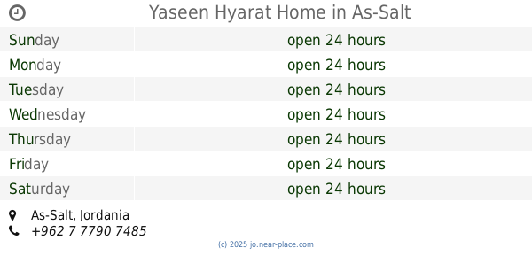
Yaseen Hyarat Home
As-Salt
Restaurant
read more
294 m
مطعم الاوفياء
As-Salt
Restaurant
read more
313 m
مطعم العمد
Al Baladia As, As-Salt
Restaurant
read more
419 m
Al Salam Resturant
As-Salt
Restaurant
read more
423 m
Restaurants Sieve
As-Salt
Restaurant
read more
424 m
Fahim Wa Lahim
As-Salt
Restaurant
read more
431 m
Ghazzawi Restaurant Youth
Salt Highway, As-Salt
Restaurant
read more
432 m
مطاعم الهاون
Prince Hamza Street, As-Salt
Restaurant
read more
447 m
مطعم المذاق الطيب
Prince Hamza Street, As-Salt
Restaurant
read more
483 m
Greater Salt Restaurants
As-Salt
Restaurant
read more
504 m
Ghazzawi Restaurant
مقابل مدرسةالسلط الثانوية للبنات, As-Salt
Restaurant
read more
582 m
مطعم فراس مريش للمناسف العربيه
As-Salt
Restaurant
read more
636 m
مطعم شيماء فلافل و حمص
المنشية،, As-Salt
Restaurant
read more
700 m
Ahmed (Abu Khaled riyals restaurant)
Prince Hamza Street, As-Salt
Restaurant
read more
914 m
مطعم كوارع و سمك ع كيفك
Unnamed Road, As-Salt
Restaurant
read more
945 m
Safwan Restaurant
As-Salt
Restaurant
read more
1.207 km
Abu Iskandar Khuraisat Restaurant
As-Salt
Restaurant
read more
1.446 km
مطعم ومطبخ خلدون الغزاوي
Prince Hamza Street, As-Salt
Restaurant
read more
1.565 km
Anyway
As-Salt
Restaurant
read more
1.696 km
مطعم الريحانة- فرع جامعة البلقاء
As-Salt
Restaurant
read more
📑
all categories
Accounting
Administrative area level 1
Administrative area level 2
Airport
Amusement park
Aquarium
Art gallery
Atm
Bakery
Bank
Bar
Beauty salon
Bicycle store
Book store
Bowling alley
Bus station
Cafe
Campground
Car dealer
Car rental
Car repair
Car wash
Cemetery
Church
City hall
Clothing store
Colloquial area
Convenience store
Country
Courthouse
Dentist
Department store
Doctor
Electrician
Electronics store
Embassy
Finance
Fire station
Florist
Food
Funeral home
Furniture store
Gas station
General contractor
Grocery or supermarket
Gym
Hair care
Hardware store
Health
Home goods store
Hospital
Insurance agency
Jewelry store
Laundry
Lawyer
Library
Liquor store
Local government office
Locality
Locksmith
Lodging
Meal delivery
Meal takeaway
Mosque
Movie rental
Movie theater
Moving company
Museum
Natural feature
Neighborhood
Night club
Painter
Park
Parking
Pet store
Pharmacy
Physiotherapist
Place of worship
Plumber
Point of interest
Police
Post office
Premise
Real estate agency
Restaurant
Route
Rv park, camping
School
Shoe store
Shopping mall
Spa
Stadium
Storage
Store
Supermarket
Taxi stand
Train station
Travel agency
University
Veterinary care
Zoo
sublocality level 1
↑