Restaurant nearby مطاعم الأكل الطيب - صما
Jordan
Restaurant nearby مطاعم الأكل الطيب - صما
مطاعم الأكل الطيب - صما
Taybeh District, Иордания
contacts phone
:
+962 7 7044 8282
Latitude:
32.5709136
, Longitude:
35.6868678
larger map & directions
read more
nearest Restaurant
3.805 km
مطعم الجود للاكلات الشعبيه
Restaurant
read more
3.841 km
مطعم أزكى شيش وكباب
المهيدات, كفرأسد - مقابل ديوان, Kufr Asad
Restaurant
read more
3.867 km
Ahaleena Restaurant مطعم أهالينا
Kufr Asad
Restaurant
read more
3.896 km
مطعم الراقي
Restaurant
read more
4.041 km
Tatli Resturant
Restaurant
read more
4.258 km
Abu Imad Restaurant
Qumaym
Restaurant
read more
4.316 km
Altaybeh Resturant
Restaurant
read more
4.384 km
Falafil Taqli فلافل الطقلي
Qumaym
Restaurant
read more
4.446 km
Al Anwar Restaurant
Restaurant
read more
7.984 km
Dolma Restaurant & Cafe
Deir Abu Said
Restaurant
read more
8.487 km
مطعم النشامى
Restaurant
read more
10.048 km
كيفيا كافيه Kifia Kafee
Restaurant
read more
11.137 km
Petra Restaurant
Irbid
Restaurant
read more
11.516 km
مطعم ابوالعارف
Hizam Ring Road, Amman
Restaurant
read more
13.591 km
مطعم ابو احمد
Restaurant
read more
14.115 km
Restaurant & Grills Kababjee
Irbid
Restaurant
read more
14.208 km
Sea Waves Restaurant
Irbid
Restaurant
read more
14.695 km
مطعم حارتنا
Irbid
Restaurant
read more
14.813 km
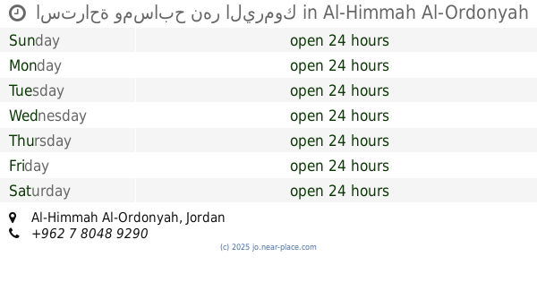
استراحة ومسابح نهر اليرموك
Al-Himmah Al-Ordonyah
Restaurant
read more
14.899 km
Dia'a Al Rabeah Restaurant
Irbid
Restaurant
read more
14.91 km
مطعم عبوده 2
غرب دوار مول ب200م, Irbid
Restaurant
read more
15.106 km
مطعم لنا ميزه
Ar-Razi Street, Irbid
Restaurant
read more
15.197 km
مطعم الشنتة
Restaurant
read more
15.271 km
ملحمة و مشاوي ضاحية الحسين
Pr. Mohammed St., Irbid
Restaurant
read more
15.565 km
مطعم ومنتزه وكافيه ابو جفيل
Saham
Restaurant
read more
📑
all categories
Accounting
Administrative area level 1
Administrative area level 2
Airport
Amusement park
Aquarium
Art gallery
Atm
Bakery
Bank
Bar
Beauty salon
Bicycle store
Book store
Bowling alley
Bus station
Cafe
Campground
Car dealer
Car rental
Car repair
Car wash
Cemetery
Church
City hall
Clothing store
Colloquial area
Convenience store
Country
Courthouse
Dentist
Department store
Doctor
Electrician
Electronics store
Embassy
Finance
Fire station
Florist
Food
Funeral home
Furniture store
Gas station
General contractor
Grocery or supermarket
Gym
Hair care
Hardware store
Health
Home goods store
Hospital
Insurance agency
Jewelry store
Laundry
Lawyer
Library
Liquor store
Local government office
Locality
Locksmith
Lodging
Meal delivery
Meal takeaway
Mosque
Movie rental
Movie theater
Moving company
Museum
Natural feature
Neighborhood
Night club
Painter
Park
Parking
Pet store
Pharmacy
Physiotherapist
Place of worship
Plumber
Point of interest
Police
Post office
Premise
Real estate agency
Restaurant
Route
Rv park, camping
School
Shoe store
Shopping mall
Spa
Stadium
Storage
Store
Supermarket
Taxi stand
Train station
Travel agency
University
Veterinary care
Zoo
sublocality level 1
↑