Restaurant nearby Cermony Jordan
Jordan
Restaurant nearby Cermony Jordan
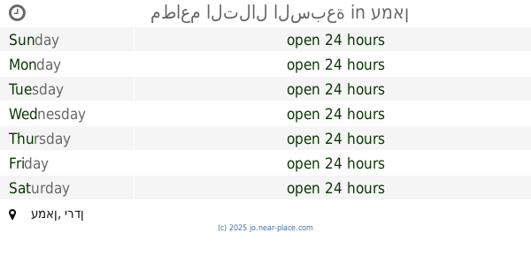
Cermony Jordan
Unnamed Road, Amman Israel
contacts phone
:
+962
Latitude:
31.856958
, Longitude:
35.8878507
read more
nearest Restaurant
531 m
Boston Fried Chicken
Amman Waves, Queen Alia Airport St 488, Amman
Restaurant
read more
663 m
Mazraati Resturent
Amman
Restaurant
read more
665 m
Maazrati Fresh Market Centre
Amman
Restaurant
read more
867 m
مطاعم التلال السبعة
Amman
Restaurant
read more
1.465 km
Country Club
Action Target / The Country Club, Queen Alia Airport Road, Exit W3, Amman
Restaurant
read more
1.546 km
Sama Amman Park
Hizam Ring Road, Amman
Restaurant
read more
1.675 km
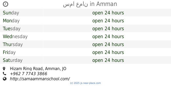
سما عمان
Hizam Ring Road, Amman
Restaurant
read more
2.245 km
Zambak Turkish Cuisine
Amman
Restaurant
read more
2.337 km
6 Yard
93 Mufleh, Merei Al-Ajarmeh Street, Amman
Restaurant
read more
2.347 km
What The Fun
Al Hidayeh, Amman
Restaurant
read more
2.347 km
What The Fun
Amman
Restaurant
read more
2.349 km
What The Fun Restaurant & Games
93 Mufleh, Merei Al-Ajarmeh Street, Amman
Restaurant
read more
2.366 km
Peacock Water
Amman
Restaurant
read more
2.573 km
Kan Zaman
Amman
Restaurant
read more
2.682 km
Al-Zaytoonah University Restaurant
Amman
Restaurant
read more
2.99 km
اسكان خلف النوايسة
Amman
Restaurant
read more
3.007 km
مطعم سنونو
Amman
Restaurant
read more
3.023 km
Restaurants and epic Abuaodh
Amman
Restaurant
read more
3.086 km
Falafel House
Queen Alia Airport Road, Amman
Restaurant
read more
3.117 km
Al Abrar Al Demashke Sweets
Amman
Restaurant
read more
3.119 km
مطعم عقود الجٌمان
اليادودة شارع مأدبا بجانب مسجد رمضان, Amman
Restaurant
read more
3.119 km
مطعم عقود الجٌمان
Amman
Restaurant
read more
3.488 km
حديقة الأردن للحيوانات
شارع الأبرار محافظة العاصمة, Amman
Restaurant
read more
4.037 km
Abu Alaa Restaurant
Amman
Restaurant
read more
4.502 km
حلويات بربر الشاميه
مرج الحمام دوار الجندي
Restaurant
read more
📑
all categories
Accounting
Administrative area level 1
Administrative area level 2
Airport
Amusement park
Aquarium
Art gallery
Atm
Bakery
Bank
Bar
Beauty salon
Bicycle store
Book store
Bowling alley
Bus station
Cafe
Campground
Car dealer
Car rental
Car repair
Car wash
Cemetery
Church
City hall
Clothing store
Colloquial area
Convenience store
Country
Courthouse
Dentist
Department store
Doctor
Electrician
Electronics store
Embassy
Finance
Fire station
Florist
Food
Funeral home
Furniture store
Gas station
General contractor
Grocery or supermarket
Gym
Hair care
Hardware store
Health
Home goods store
Hospital
Insurance agency
Jewelry store
Laundry
Lawyer
Library
Liquor store
Local government office
Locality
Locksmith
Lodging
Meal delivery
Meal takeaway
Mosque
Movie rental
Movie theater
Moving company
Museum
Natural feature
Neighborhood
Night club
Painter
Park
Parking
Pet store
Pharmacy
Physiotherapist
Place of worship
Plumber
Point of interest
Police
Post office
Premise
Real estate agency
Restaurant
Route
Rv park, camping
School
Shoe store
Shopping mall
Spa
Stadium
Storage
Store
Supermarket
Taxi stand
Train station
Travel agency
University
Veterinary care
Zoo
sublocality level 1
↑