Point of interest nearby Siq Um Al Tawaqi
Jordan
Point of interest nearby Siq Um Al Tawaqi
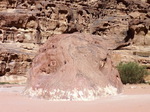
Siq Um Al Tawaqi
قرية وادي رم، Иордания
contacts phone
:
+962
Latitude:
29.6233787
, Longitude:
35.4951042
larger map & directions
read more
nearest Point of interest
500 m
Salman Zwaidh Camp
Wadi Rum, Wadi Rum
Point of interest
read more
1.021 km
Obeid's Bedouin Life Camp
Protected Area Wadi Rum
Point of interest
read more
1.563 km
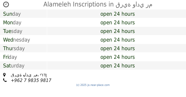
Alameleh Inscriptions
قرية وادي رم
Point of interest
read more
1.823 km
Oasis Desert Camp
Point of interest
read more
1.883 km
Rum Magic Camp
Point of interest
read more
2.152 km
Captains Desert Camp
الديسي, وادي رم، وادي رم
Point of interest
read more
2.323 km
مظمار الشيخ زايد للسباقات الهجن
Ad Disah Road, Manshir
Point of interest
read more
2.325 km
Zawaideh Camp
Point of interest
read more
2.661 km
Wadi Rum Beduin Camp
Disi, Aqaba, Wadi Rum
Point of interest
read more
2.937 km
Caravan Camping
Aqaba, Wadi Rum, Aqaba
Point of interest
read more
3.51 km
نادي قرى حوض الديسه
Point of interest
read more
3.528 km
Deeseh Knowledge Station
Disah
Point of interest
read more
3.847 km
جمعية الديسه السياحيه
Point of interest
read more
4.183 km
Hasan Zawaideh Camp
Ad Deiseh، Wadi Rum
Point of interest
read more
4.359 km
Wadi Rum Full Moon Camp & Tours
Jordan
Point of interest
read more
4.383 km
Seven Pillars of Wisdom
قرية وادي رم
Point of interest
read more
8.419 km
Sand Dunes Area
Wadi Rum Village
Point of interest
read more
8.501 km
Rahayeb Desert Camp meetingpoint
Ad Disah Road, Manshir
Point of interest
read more
8.875 km
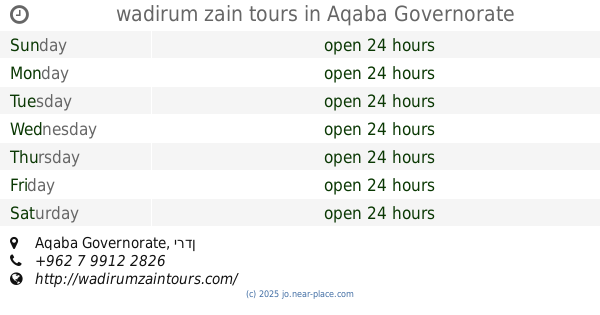
wadirum zain tours
Point of interest
read more
8.943 km
Hotel Captain Desert Camp
Wadi Rum
Point of interest
read more
9.073 km
Wadi Rum Protected Area Camp
Point of interest
read more
10.714 km
Rum Agriculture
Point of interest
read more
11.741 km
French Fortres
Wadi Rum Village
Point of interest
read more
12.634 km
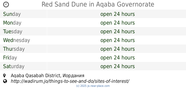
Red Sand Dune
Aqaba Qasabah District
Point of interest
read more
17.15 km
Rainbow Camp
Wadi Rum Protected Area, Wade Rum
Point of interest
read more
📑
all categories
Accounting
Administrative area level 1
Administrative area level 2
Airport
Amusement park
Aquarium
Art gallery
Atm
Bakery
Bank
Bar
Beauty salon
Bicycle store
Book store
Bowling alley
Bus station
Cafe
Campground
Car dealer
Car rental
Car repair
Car wash
Cemetery
Church
City hall
Clothing store
Colloquial area
Convenience store
Country
Courthouse
Dentist
Department store
Doctor
Electrician
Electronics store
Embassy
Finance
Fire station
Florist
Food
Funeral home
Furniture store
Gas station
General contractor
Grocery or supermarket
Gym
Hair care
Hardware store
Health
Home goods store
Hospital
Insurance agency
Jewelry store
Laundry
Lawyer
Library
Liquor store
Local government office
Locality
Locksmith
Lodging
Meal delivery
Meal takeaway
Mosque
Movie rental
Movie theater
Moving company
Museum
Natural feature
Neighborhood
Night club
Painter
Park
Parking
Pet store
Pharmacy
Physiotherapist
Place of worship
Plumber
Point of interest
Police
Post office
Premise
Real estate agency
Restaurant
Route
Rv park, camping
School
Shoe store
Shopping mall
Spa
Stadium
Storage
Store
Supermarket
Taxi stand
Train station
Travel agency
University
Veterinary care
Zoo
sublocality level 1
↑