Point of interest nearby Al-Yarmouk Battle Location
Jordan
Point of interest nearby Al-Yarmouk Battle Location
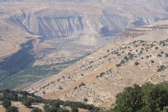
Al-Yarmouk Battle Location
Irbid Governorate, Иордания
contacts phone
:
+962
Latitude:
32.7216799
, Longitude:
35.7506433
larger map & directions
read more
nearest Point of interest
1.48 km
Qlait Adventures
Bani Kinanah Department
Point of interest
read more
2.521 km
نادي سحم الرياضي
Saham
Point of interest
read more
2.721 km
ملعب سحم البلدي
Point of interest
read more
3.737 km
Ashoulah Municipality
Point of interest
read more
5.446 km
Modern Sadoun mill
قرية سمر الكفارات, Irbid
Point of interest
read more
5.474 km
معصرة احمد سعيد سعدون ، سمر الكفارات
Point of interest
read more
5.846 km
Studio and home artist Ahmed Khatib
كفرسوم اربند
Point of interest
read more
5.924 km
بلدية الشعلة-سمر الكفارات
Samar Street, Irbid
Point of interest
read more
6.584 km
Stadium Kufarsum Sports Club
Point of interest
read more
9.481 km
Omar Omari Industrial Stone
Umm Qais
Point of interest
read more
9.943 km
Byzantine Octagonal Church
Point of interest
read more
10.236 km
Al-Aml Center
Harta
Point of interest
read more
11.623 km
Sama Al-Rousan
Hizam Ring Road, Amman
Point of interest
read more
12.116 km
دائره الاحوال والجوازات الاردنيه
Point of interest
read more
12.258 km
مدرية تربية لواء بني كنانه
Point of interest
read more
12.488 km
Surveyor. Zuhair Yousef Malkawi / مكتب المساح المرخص : زهير يوسف الملكاوي
Point of interest
read more
12.689 km
Foarah PS
Ирбид
Point of interest
read more
13.793 km
رغد للاتصالات
إربد
Point of interest
read more
14.02 km
Arabella Olive Mill معصرة ارابيلا
Hizam Ring Road, Amman
Point of interest
read more
14.199 km
Kufr Asad Knowledge Station
شارع كفرأسد الرئيسي, Kafr Asad
Point of interest
read more
14.297 km
Tell Zira'a
Wastiyyah District
Point of interest
read more
16.169 km
Wadi Alarab Dam
طريق سد وادي العرب, Murshed
Point of interest
read more
17.181 km
علي العودات للألمنيوم
Point of interest
read more
17.574 km
Radio and Television Broadcasting major Irbid
Beit Ras
Point of interest
read more
18.174 km
مدرسة الشونة الشمالية الثانوية الشاملة للبنين
North Shuna
Point of interest
read more
📑
all categories
Accounting
Administrative area level 1
Administrative area level 2
Airport
Amusement park
Aquarium
Art gallery
Atm
Bakery
Bank
Bar
Beauty salon
Bicycle store
Book store
Bowling alley
Bus station
Cafe
Campground
Car dealer
Car rental
Car repair
Car wash
Cemetery
Church
City hall
Clothing store
Colloquial area
Convenience store
Country
Courthouse
Dentist
Department store
Doctor
Electrician
Electronics store
Embassy
Finance
Fire station
Florist
Food
Funeral home
Furniture store
Gas station
General contractor
Grocery or supermarket
Gym
Hair care
Hardware store
Health
Home goods store
Hospital
Insurance agency
Jewelry store
Laundry
Lawyer
Library
Liquor store
Local government office
Locality
Locksmith
Lodging
Meal delivery
Meal takeaway
Mosque
Movie rental
Movie theater
Moving company
Museum
Natural feature
Neighborhood
Night club
Painter
Park
Parking
Pet store
Pharmacy
Physiotherapist
Place of worship
Plumber
Point of interest
Police
Post office
Premise
Real estate agency
Restaurant
Route
Rv park, camping
School
Shoe store
Shopping mall
Spa
Stadium
Storage
Store
Supermarket
Taxi stand
Train station
Travel agency
University
Veterinary care
Zoo
sublocality level 1
↑