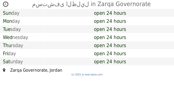
Hospital nearby مركز صحي الاشرفية الشامل
Jordan
Hospital nearby مركز صحي الاشرفية الشامل
مركز صحي الاشرفية الشامل
Эль-Мафрак, Иордания
contacts phone
:
+962
Latitude:
32.2170759
, Longitude:
36.6209705
larger map & directions
read more
nearest Hospital
11.031 km
Umm Al Quttein Medical Center
Umm al-Qiţţayn
Hospital
read more
11.704 km
Health Center Aldwianh
Hospital
read more
12.587 km
Health Center Khcaa Slitin
Hospital
read more
13.493 km
مركز صحي الرفاعيات
Hospital
read more
16.36 km
Northern Badya Hospital
Hospital
read more
16.377 km
Northern Badia Hospital
Hospital
read more
24.766 km
مركز صحي اولي روضة الامير محمد
Hospital
read more
27.895 km
A comprehensive health center or beauty
Hospital
read more
28.684 km
مستشفى أطباء بلا حدود
Hospital
read more
34.099 km
مستشفى الظليل
Hospital
read more
39.325 km
مستشفى الملك طلال العسكري
مستشفى الملك طلال, Al-Mafraq
Hospital
read more
40.493 km
Jordanian field hospital, the United Arab Emirates
Al-Mafraq
Hospital
read more
41.251 km
دكتوره فايزه الشديفات
Al-Mafraq
Hospital
read more
41.747 km
Al Mafraq Hospital
Al-Mafraq
Hospital
read more
42.716 km
مستشفى الامراض الصدرية
Al-Mafraq
Hospital
read more
43.341 km
Health Center Kindergarten Prince Mohammed
Hospital
read more
47.104 km
Comprehensive Health Center Mansoura
Hospital
read more
51.583 km
Jaber Al Sarhan Center
Hizam Ring Road, Amman
Hospital
read more
51.943 km
Blue Military Hospital
Az-Zarqa
Hospital
read more
51.974 km
Parking Lot_ Prince Hashim Military Hospital
Az-Zarqa
Hospital
read more
52.398 km
مركز الرأفة الطبي المعمداني
النصر،, Az-Zarqa
Hospital
read more
52.752 km
مجمع السلام الطبي
Al-Azraq Camp, Az-Zarqa
Hospital
read more
52.965 km
مركز صحي جبل طارق بن زياد
Az-Zarqa
Hospital
read more
53.581 km
مركز الشامي للعيون
Unnamed Road, Az-Zarqa
Hospital
read more
53.657 km
Al Zaytoon Hospital
Az-Zarqa
Hospital
read more
📑
all categories
Accounting
Administrative area level 1
Administrative area level 2
Airport
Amusement park
Aquarium
Art gallery
Atm
Bakery
Bank
Bar
Beauty salon
Bicycle store
Book store
Bowling alley
Bus station
Cafe
Campground
Car dealer
Car rental
Car repair
Car wash
Cemetery
Church
City hall
Clothing store
Colloquial area
Convenience store
Country
Courthouse
Dentist
Department store
Doctor
Electrician
Electronics store
Embassy
Finance
Fire station
Florist
Food
Funeral home
Furniture store
Gas station
General contractor
Grocery or supermarket
Gym
Hair care
Hardware store
Health
Home goods store
Hospital
Insurance agency
Jewelry store
Laundry
Lawyer
Library
Liquor store
Local government office
Locality
Locksmith
Lodging
Meal delivery
Meal takeaway
Mosque
Movie rental
Movie theater
Moving company
Museum
Natural feature
Neighborhood
Night club
Painter
Park
Parking
Pet store
Pharmacy
Physiotherapist
Place of worship
Plumber
Point of interest
Police
Post office
Premise
Real estate agency
Restaurant
Route
Rv park, camping
School
Shoe store
Shopping mall
Spa
Stadium
Storage
Store
Supermarket
Taxi stand
Train station
Travel agency
University
Veterinary care
Zoo
sublocality level 1
↑