Cafe nearby Crumz
Jordan
Cafe nearby Crumz
Crumz
Al Anani Complex, Salman Al Quddah St 4, Amman Israel
contacts phone
:
+962
Latitude:
31.940034
, Longitude:
35.8841964
read more
nearest Cafe
19 m
Cafe mai7ana ميحانه
Amman
Cafe
read more
112 m
Haleem Zaman Abdoun
Salman Al-Qudat Street, Amman
Cafe
read more
207 m
Cereal Killer Cafe
Saed Abdo Shammout Street, Amman
Cafe
read more
260 m
Zoka Cafe
Java U Cafe / Zoka، Saed Abdo Shammout St 37، عمّان
Cafe
read more
334 m
Cafe Hanin
Taj lifestyle Mall
Cafe
read more
347 m
Nestle Cafe - Taj Mall - Jordan
Taj Mall, Abdoun
Cafe
read more
355 m
STARBUCKS COFFEE
Taj Mall, Amman
Cafe
read more
365 m
The Café Gourmand - Taj Lifestyle
Saed Abdo Shammout Street, Amman
Cafe
read more
369 m
Cafe Hanin - Taj Mall
Taj lifestyle Mall, Amman
Cafe
read more
376 m
Nestle Toll House Cafe
TAJ Lifestyle Center, Prince Hashem Bin Al Hussein St 72, Amman
Cafe
read more
390 m
Juicebangbang
#72 Pr. Hashim St, TAJ Mall, Amman
Cafe
read more
405 m
MOG Videogame / Boardgame / Study Lounge
Amman
Cafe
read more
415 m
Costa Cafe
Prince Hashim Bin Al-Hussein Street 72, Amman
Cafe
read more
491 m
Delicia Lounge
Delicia, Prince Hashem Bin Al Hussein St 66, Amman
Cafe
read more
588 m
STARBUCKS COFFEE
Abdoun, Amman
Cafe
read more
599 m
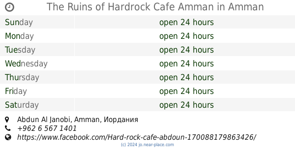
The Ruins of Hardrock Cafe Amman
Abdun Al Janobi, Amman
Cafe
read more
745 m
Caffe Strada
Umm Qasir Street, Amman
Cafe
read more
767 m
Macho Picho Cafe
Amman
Cafe
read more
802 m
Latino di Roma
Amman
Cafe
read more
954 m
Second Cup Cafe
Nakhwa Commercial Complex, Queen Zain Al Sharaf St 23, Amman
Cafe
read more
1.163 km
Zeyara Cafe
Ustafa' Kami, Amman
Cafe
read more
1.167 km
Café Haroun
Amman
Cafe
read more
1.189 km
Shai & Zatar شاي و زعتر
Amman
Cafe
read more
1.266 km
Reesheh OW Baskoteh ريشه و بسكوته
Cairo Street 17, Amman
Cafe
read more
1.272 km
Moka Patisserie & Cafe
Rafat Complex, Al Qaherah St 17, Amman
Cafe
read more
📑
all categories
Accounting
Administrative area level 1
Administrative area level 2
Airport
Amusement park
Aquarium
Art gallery
Atm
Bakery
Bank
Bar
Beauty salon
Bicycle store
Book store
Bowling alley
Bus station
Cafe
Campground
Car dealer
Car rental
Car repair
Car wash
Cemetery
Church
City hall
Clothing store
Colloquial area
Convenience store
Country
Courthouse
Dentist
Department store
Doctor
Electrician
Electronics store
Embassy
Finance
Fire station
Florist
Food
Funeral home
Furniture store
Gas station
General contractor
Grocery or supermarket
Gym
Hair care
Hardware store
Health
Home goods store
Hospital
Insurance agency
Jewelry store
Laundry
Lawyer
Library
Liquor store
Local government office
Locality
Locksmith
Lodging
Meal delivery
Meal takeaway
Mosque
Movie rental
Movie theater
Moving company
Museum
Natural feature
Neighborhood
Night club
Painter
Park
Parking
Pet store
Pharmacy
Physiotherapist
Place of worship
Plumber
Point of interest
Police
Post office
Premise
Real estate agency
Restaurant
Route
Rv park, camping
School
Shoe store
Shopping mall
Spa
Stadium
Storage
Store
Supermarket
Taxi stand
Train station
Travel agency
University
Veterinary care
Zoo
sublocality level 1
↑