Supermarket nearby سوبر ماركت ست الحبايب
Coronavirus disease (COVID-19) Situation
confirmed cases
1746997
deaths
14122
Jordan
Supermarket nearby سوبر ماركت ست الحبايب
سوبر ماركت ست الحبايب
Irbid Governorate, Иордания
contacts phone
:
+962
Latitude:
32.6657875
, Longitude:
35.828713
larger map & directions
read more
nearest Supermarket
202 m
Super Market ous
Hubrass
Supermarket
read more
1.471 km
Teiseer Shop And Supermarket
Hizam Ring Road, Amman
Supermarket
read more
1.823 km
Azhar Supermarket
Supermarket
read more
2.298 km
Abdalhadi Market, Convenience Store
Um Qais Rd St، Bani Kenana
Supermarket
read more
8.081 km
محمص تاج الدين
بيت راس - الشارع الرئيسي - قبل جسر المشاة ب، ١٠٠ متر،
Supermarket
read more
8.132 km
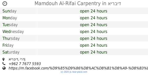
Mamdouh Al-Rifai Carpentry
אירביד
Supermarket
read more
10.183 km
سلسلة اسواق مكة
Hakama Street, Irbid
Supermarket
read more
11.208 km
صالون احمد الشلول ابو ثابت
دوقره،
Supermarket
read more
11.218 km
سوبر ماركت بن الطائي
Irbid
Supermarket
read more
12.017 km
سوبر ماركت ابو عدي
Irbid
Supermarket
read more
12.58 km
أسواق الرشدان الاستهلاكية
Irbid
Supermarket
read more
13.12 km
مركز الغيداء للمثلجات
حي النزهة،، إربد
Supermarket
read more
13.324 km
اسواق النشامى
Supermarket
read more
14.066 km
سوق اليرموك
Irbid
Supermarket
read more
14.177 km
Ibrahim Super Market
Adan Street, Irbid
Supermarket
read more
14.254 km
معرض جنزير لتجارة السيارات (ابو محمد)
شارع بغداد، مقابل يثرب للاطارات, Irbid
Supermarket
read more
14.437 km
Diabat Company
Irbid
Supermarket
read more
14.437 km
Reem Al Bawadi Super Market
Unnamed Road, Irbid
Supermarket
read more
14.515 km
Ctown
Irbid
Supermarket
read more
14.589 km
Alsafeer Supermarket
Irbid
Supermarket
read more
14.859 km
Carrefour
Supermarket
read more
14.922 km
اسواق الرشيدات الاستهلاكية
Irbid
Supermarket
read more
15.191 km
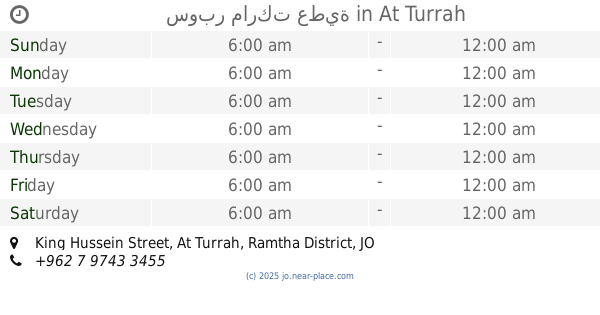
سوبر ماركت عطية
King Hussein Street, At Turrah
Supermarket
read more
15.888 km
Omar Super Market
Supermarket
read more
15.899 km
Al-Na'san Market
Irbid
Supermarket
read more
📑
all categories
Accounting
Administrative area level 1
Administrative area level 2
Airport
Amusement park
Aquarium
Art gallery
Atm
Bakery
Bank
Bar
Beauty salon
Bicycle store
Book store
Bowling alley
Bus station
Cafe
Campground
Car dealer
Car rental
Car repair
Car wash
Cemetery
Church
City hall
Clothing store
Colloquial area
Convenience store
Country
Courthouse
Dentist
Department store
Doctor
Electrician
Electronics store
Embassy
Finance
Fire station
Florist
Food
Funeral home
Furniture store
Gas station
General contractor
Grocery or supermarket
Gym
Hair care
Hardware store
Health
Home goods store
Hospital
Insurance agency
Jewelry store
Laundry
Lawyer
Library
Liquor store
Local government office
Locality
Locksmith
Lodging
Meal delivery
Meal takeaway
Mosque
Movie rental
Movie theater
Moving company
Museum
Natural feature
Neighborhood
Night club
Painter
Park
Parking
Pet store
Pharmacy
Physiotherapist
Place of worship
Plumber
Point of interest
Police
Post office
Premise
Real estate agency
Restaurant
Route
Rv park, camping
School
Shoe store
Shopping mall
Spa
Stadium
Storage
Store
Supermarket
Taxi stand
Train station
Travel agency
University
Veterinary care
Zoo
sublocality level 1
↑