Cafe nearby قهوة المختار
Coronavirus disease (COVID-19) Situation
confirmed cases
1746997
deaths
14122
Jordan
Cafe nearby قهوة المختار
قهوة المختار
لواء الرصيفة، Russayfah, Иордания
contacts phone
:
+962 7 8557 7196
Latitude:
32.0265215
, Longitude:
36.0718076
larger map & directions
read more
nearest Cafe
101 m
قهوة عمر المختار
جسر الميه, Russayfah
Cafe
read more
899 m
حمادنة
Russayfah
Cafe
read more
1.145 km
Jafra shops Oragel
لواء الرصيفة،, Russayfah
Cafe
read more
1.722 km
Coffee leader
Az-Zarqa
Cafe
read more
1.766 km
AraBikA
King Abdullah I Street, Az-Zarqa
Cafe
read more
1.804 km
Coffee Abu Musa
لواء الرصيفة،, Russayfah
Cafe
read more
1.82 km
Taim Café تيم كافيه
Ath Thawrah Al-Arabeya Al-Kubra Street, Amman
Cafe
read more
1.841 km
PlayStation Leader
ياجوز - اسكان طلال مقابل قهوة, عمو ابو يوسف, Russayfah
Cafe
read more
1.913 km
قهوة بن العميد
Unnamed Road, Az-Zarqa
Cafe
read more
1.919 km
كافيه العقرباوي
Unnamed Road, Az-Zarqa
Cafe
read more
1.921 km
Cafe’ Alaqrabawe
Az-Zarqa
Cafe
read more
1.943 km
Cafe Godfather Abu Wadih
30, Russayfah
Cafe
read more
1.972 km
Jawaker Cafe جواكر
Yajuz, Az-Zarqa
Cafe
read more
2.135 km
قهوة ابو العبد
Russayfah
Cafe
read more
2.536 km
ديفاز كافيه
Army Street, Az-Zarqa
Cafe
read more
2.602 km
قهوة مخمخ
Az-Zarqa
Cafe
read more
2.627 km
Maraya Coffee Shop
Az-Zarqa
Cafe
read more
2.641 km
تريكس كافيه
Unnamed Rd
Cafe
read more
2.764 km
El Clasico Cafe
Russayfah
Cafe
read more
2.79 km
Havana Aragel
Az-Zarqa
Cafe
read more
2.803 km
Ali Baba Smoking
Russayfah
Cafe
read more
2.854 km
Dr.WaffleZ choclate cafè
Army Street, Amman
Cafe
read more
2.858 km
PC Cafe
Army Street, Az-Zarqa
Cafe
read more
2.919 km
, كفتيريا مزاجك صح
Az-Zarqa
Cafe
read more
3.079 km
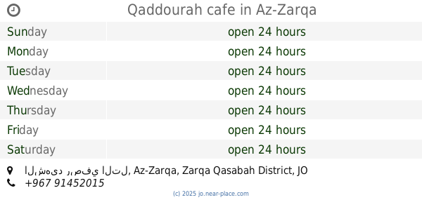
Qaddourah cafe
الشهيد رصفي التل, Az-Zarqa
Cafe
read more
📑
all categories
Accounting
Administrative area level 1
Administrative area level 2
Airport
Amusement park
Aquarium
Art gallery
Atm
Bakery
Bank
Bar
Beauty salon
Bicycle store
Book store
Bowling alley
Bus station
Cafe
Campground
Car dealer
Car rental
Car repair
Car wash
Cemetery
Church
City hall
Clothing store
Colloquial area
Convenience store
Country
Courthouse
Dentist
Department store
Doctor
Electrician
Electronics store
Embassy
Finance
Fire station
Florist
Food
Funeral home
Furniture store
Gas station
General contractor
Grocery or supermarket
Gym
Hair care
Hardware store
Health
Home goods store
Hospital
Insurance agency
Jewelry store
Laundry
Lawyer
Library
Liquor store
Local government office
Locality
Locksmith
Lodging
Meal delivery
Meal takeaway
Mosque
Movie rental
Movie theater
Moving company
Museum
Natural feature
Neighborhood
Night club
Painter
Park
Parking
Pet store
Pharmacy
Physiotherapist
Place of worship
Plumber
Point of interest
Police
Post office
Premise
Real estate agency
Restaurant
Route
Rv park, camping
School
Shoe store
Shopping mall
Spa
Stadium
Storage
Store
Supermarket
Taxi stand
Train station
Travel agency
University
Veterinary care
Zoo
sublocality level 1
↑