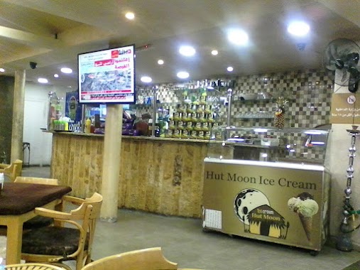
Cafe nearby كافيه نفس
Coronavirus disease (COVID-19) Situation
confirmed cases
1746997
deaths
14122
Jordan
Cafe nearby كافيه نفس
كافيه نفس
ش. جبل عرفات،, Amman ישראל
contacts phone
:
+962
Latitude:
31.9172
, Longitude:
35.8912681
read more
nearest Cafe
2 m
Nafas Cafe
Amman
Cafe
read more
108 m
مقهى ابو صالح
Amman
Cafe
read more
202 m
كفتيريا فاخوري
Jabal Arafat Street 26،, Amman
Cafe
read more
216 m
Study Corner
الياسمين،, Amman
Cafe
read more
245 m
Platinum Cafe
Amman
Cafe
read more
247 m
Jasmine cafe views
Amman
Cafe
read more
370 m
Cafeteria lovers
Jabal Arafat Street, Amman
Cafe
read more
383 m
Abu Helweh Coffee
Al Yasmeen Medical Complex, Jabal Arafat Street 5, Amman
Cafe
read more
732 m
كفتيريا خليك عنا
Prince Hashim Bin Al-Hussein Street 258, Amman
Cafe
read more
827 m
Fakhoury Cafeteria
Complex No 260, Prince Hashem Bin Al Hussein St 260, Amman
Cafe
read more
948 m
كافتيريا المسافة
Al-Shura Street, Amman
Cafe
read more
1.066 km
مقهى جنوب عمان
Al-Hurriyah Street, Amman
Cafe
read more
1.254 km
Abu Zeid cafe International
Amman
Cafe
read more
1.289 km
Mazzika Cafe مزيكا كافيه
Amman
Cafe
read more
1.355 km
Arzaq financial solution
Amman
Cafe
read more
1.386 km
Cafe Ps4 Elyasmeem
Al-Shura Street 34, Amman
Cafe
read more
1.574 km
FUN NETWORK GAMES
Amman
Cafe
read more
1.582 km
كافتيرا شمس الحرية
Amman
Cafe
read more
1.636 km
قهوة العبادي
An-Nabeghah Al-Jaadi Street, Amman
Cafe
read more
1.652 km
قهوة الوقاد
الاخضر،, Amman
Cafe
read more
1.829 km
Jad & Azad Cafe
Amman
Cafe
read more
1.875 km
حديقة التضامن
Muhammad Ad-Durrah Street 109،, Amman
Cafe
read more
2.175 km
Kiswani Coffee
Al Thra', Amman
Cafe
read more
2.434 km
Petra Gate Coffee
Amman
Cafe
read more
2.746 km
قهوة ابو مهير
عائشة التيموريه، عمّان،
Cafe
read more
📑
all categories
Accounting
Administrative area level 1
Administrative area level 2
Airport
Amusement park
Aquarium
Art gallery
Atm
Bakery
Bank
Bar
Beauty salon
Bicycle store
Book store
Bowling alley
Bus station
Cafe
Campground
Car dealer
Car rental
Car repair
Car wash
Cemetery
Church
City hall
Clothing store
Colloquial area
Convenience store
Country
Courthouse
Dentist
Department store
Doctor
Electrician
Electronics store
Embassy
Finance
Fire station
Florist
Food
Funeral home
Furniture store
Gas station
General contractor
Grocery or supermarket
Gym
Hair care
Hardware store
Health
Home goods store
Hospital
Insurance agency
Jewelry store
Laundry
Lawyer
Library
Liquor store
Local government office
Locality
Locksmith
Lodging
Meal delivery
Meal takeaway
Mosque
Movie rental
Movie theater
Moving company
Museum
Natural feature
Neighborhood
Night club
Painter
Park
Parking
Pet store
Pharmacy
Physiotherapist
Place of worship
Plumber
Point of interest
Police
Post office
Premise
Real estate agency
Restaurant
Route
Rv park, camping
School
Shoe store
Shopping mall
Spa
Stadium
Storage
Store
Supermarket
Taxi stand
Train station
Travel agency
University
Veterinary care
Zoo
sublocality level 1
↑